4966 Page views
Founded Year :
The Bangalore-Mysore Infrastructure Corridor Area Planning Authority (BMICAPA) was formed in response to the large-scale Bangalore-Mysore Infrastructure Corridor (BMIC) project. BMICAPA was established to regulate development and ensure systematic urban growth along the corridor.
The Karnataka government conceived the BMIC project in the early 1990s to improve connectivity between Bangalore and Mysore, two key cities in Karnataka. The project envisioned a high-speed expressway along with peripheral roads, link roads, and new townships, aiming to alleviate traffic congestion and foster economic development. The scale and complexity of the BMIC project, spanning multiple districts (Bangalore Urban, Bangalore Rural, Mandya, and Mysore), necessitated a unified body to oversee planning. A dedicated authority was required to regulate land use, approve infrastructure projects, and ensure zoning compliance across these regions.
In response to the need for structured management, BMICAPA was formally established in 2004 under the Karnataka Town and Country Planning (KTCP) Act, 1961. The authority oversaw the Local Planning Area (LPA) within the corridor, managing both urban and rural development in line with a structured Master Plan.BMICAPA governs the development of the Bangalore-Mysore corridor area, including regions on either side of the expressway, peripheral roads, and link roads. Its jurisdiction extends across:
The functions of BMICAPA include the following:
Master Plan Revision: The authority updates the Master Plan for its Local Planning Area following the KTCP Act.
Development Regulation: BMICAPA oversees development in line with zoning regulations, which involves approving building plans and supervising layout and group housing projects.
Land Conversion: It provides technical recommendations to the Revenue Department for converting agricultural land to non-agricultural use.
Master Plan Implementation: BMICAPA executes the Master Plan by implementing town planning schemes within the Local Planning Area.
Layout Approval: The authority is tasked with reviewing and approving layout plans submitted by private individuals, organizations, and government or quasi-government bodies.
The Bangalore-Mysore Infrastructure Corridor Area Planning Authority (BMICAPA) has overseen several major developments as part of the Bangalore-Mysore Infrastructure Corridor (BMIC) project:
Construction of the Expressway:
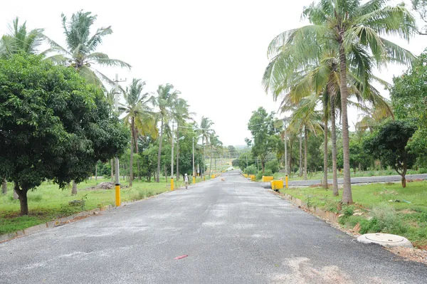
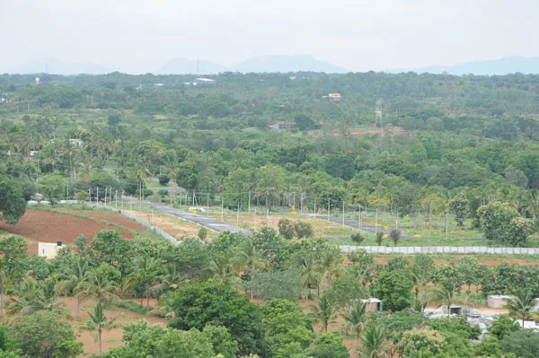
A key achievement is the construction of the 111 km four-lane expressway between Bangalore and Mysore, which aims to reduce travel time and improve connectivity between the two cities. It includes provisions for expansion to six lanes in the future.
Peripheral and Link Roads:
The development of the 41 km peripheral road connecting NH4 (Bangalore-Pune) and NH7 (Bangalore-Hosur), as well as the 9.1 km link road connecting the expressway to Mysore Road and Chord Road junction, are major infrastructural advancements. These roads are designed to decongest traffic around Bangalore.
Elevated Road:
A 3.1 km elevated road has been built to link the Link Road to the City Center, enhancing direct access and connectivity for commuters.
Interchanges:
The construction of multiple interchanges: 8 interchanges on the expressway, 7 interchanges on the peripheral road, and 1 interchange on the link road. These interchanges provide seamless integration with various highways and enhance accessibility to the corridor.
Development of New Townships:
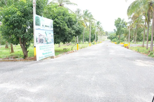
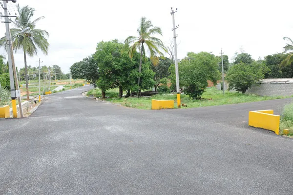
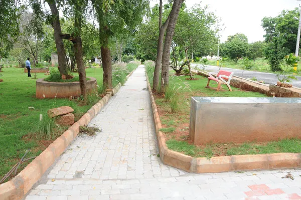
The BMIC project envisions the creation of five new townships along the corridor, aimed at promoting planned urban growth, residential, and commercial development. These townships are expected to be developed in stages to support population growth and economic activities.
Land Development and Zoning Regulations:
BMICAPA has been involved in regulating land use along the corridor by enforcing zoning regulations, overseeing land conversion processes, and approving layouts for residential and commercial projects in line with the Master Plan for the corridor area.
The Bangalore-Mysore Infrastructure Corridor Area Planning Authority (BMICAPA) has formulated several Master Plans over the years to guide the development of the corridor in a structured and sustainable manner. These plans are updated periodically to accommodate evolving urban needs, infrastructure demands, and population growth. Key BMICAPA Master Plans and their corresponding years include:
2004 Master Plan:
The first Master Plan was developed in 2004, coinciding with the establishment of BMICAPA. It outlined the broad vision for the development of the Bangalore-Mysore Corridor, including the expressway, peripheral roads, link roads, and the development of new townships. This plan was foundational for regulating land use, zoning, and infrastructure projects.
2015 Master Plan (Revised):
The 2015 Master Plan was an updated version of the 2004 plan, focusing on addressing new infrastructural challenges and accommodating the growing population in the corridor region. It incorporated lessons learned from the initial phase of development and emphasized the need for expanded road capacity, including provisions for six-lane expansion.
2021 Master Plan (Further Revised):
The 2021 Master Plan took into account further economic growth, increased traffic demands, and the need for sustainable urban planning. It focused on the future expansion of townships, updated zoning regulations, and enhanced connectivity between Bangalore and Mysore. This revision placed greater emphasis on environmental sustainability and the integration of smart city features within the townships.
The total extent of land proposed for the BMIC Project is 8175 Ha.( 20193 acres) The corridor passes through the jurisdiction of several Planning Authorities making it cumbersome to implement the corridor development fully. To have a single window agency and facilitate a planned development of the corridor the areas falling under different Authorities in the corridor were taken and amalgamated to form a Local Planning Area. Subsequently, the Government constituted a Planning Authority for the same called Bangalore Mysore Infrastructure Corridor Area Planning Authority (BMICAPA).
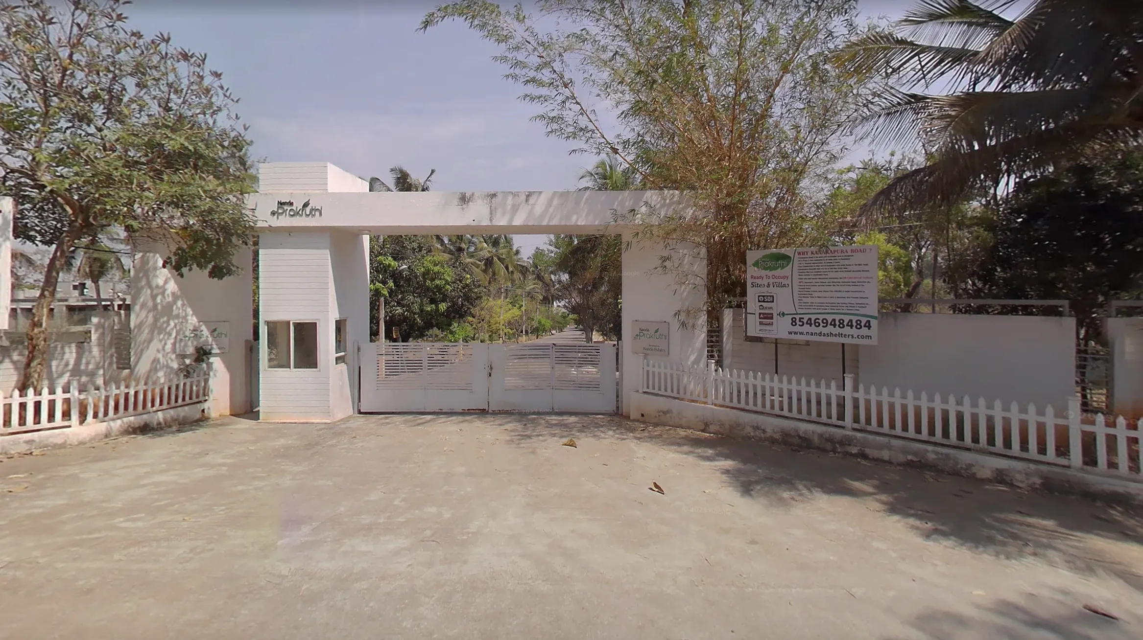
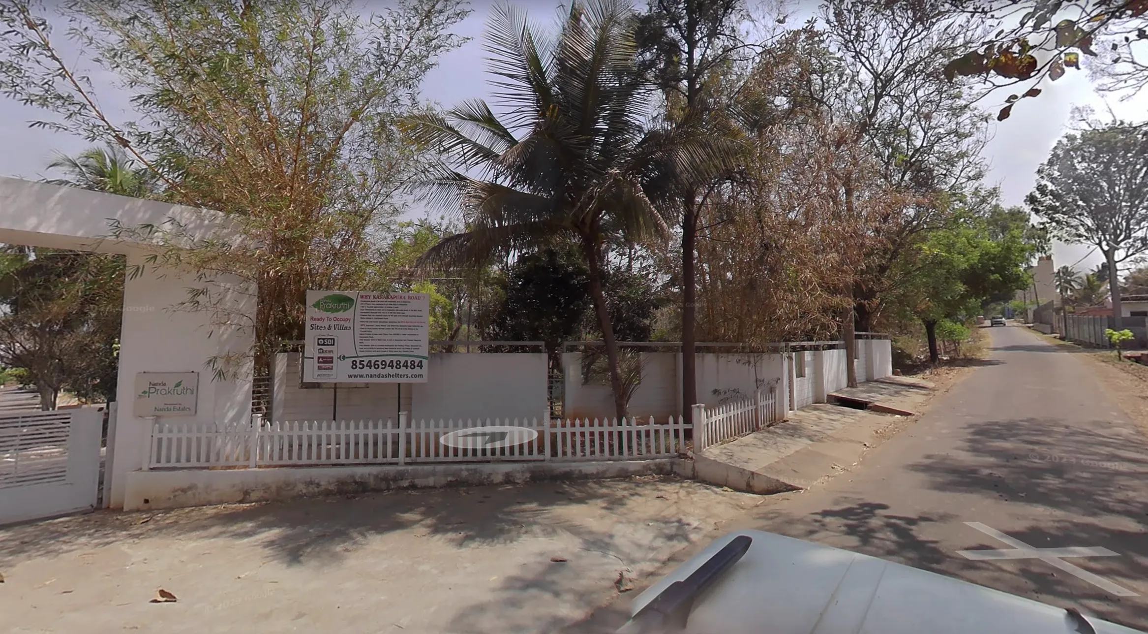
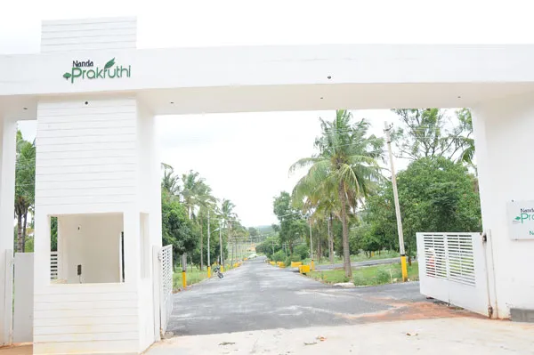
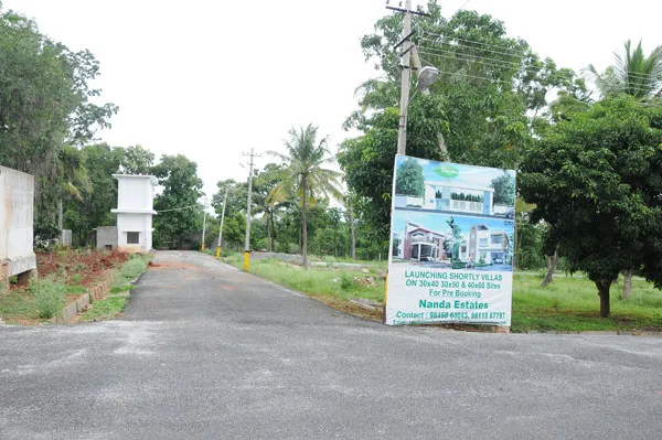

Nanda Shelters Builders & Developers
South Bangalore , Bangalore
#05, looplane, Racecourse Road, Banglore
560009
www.bmicapa.tpa.gov.in